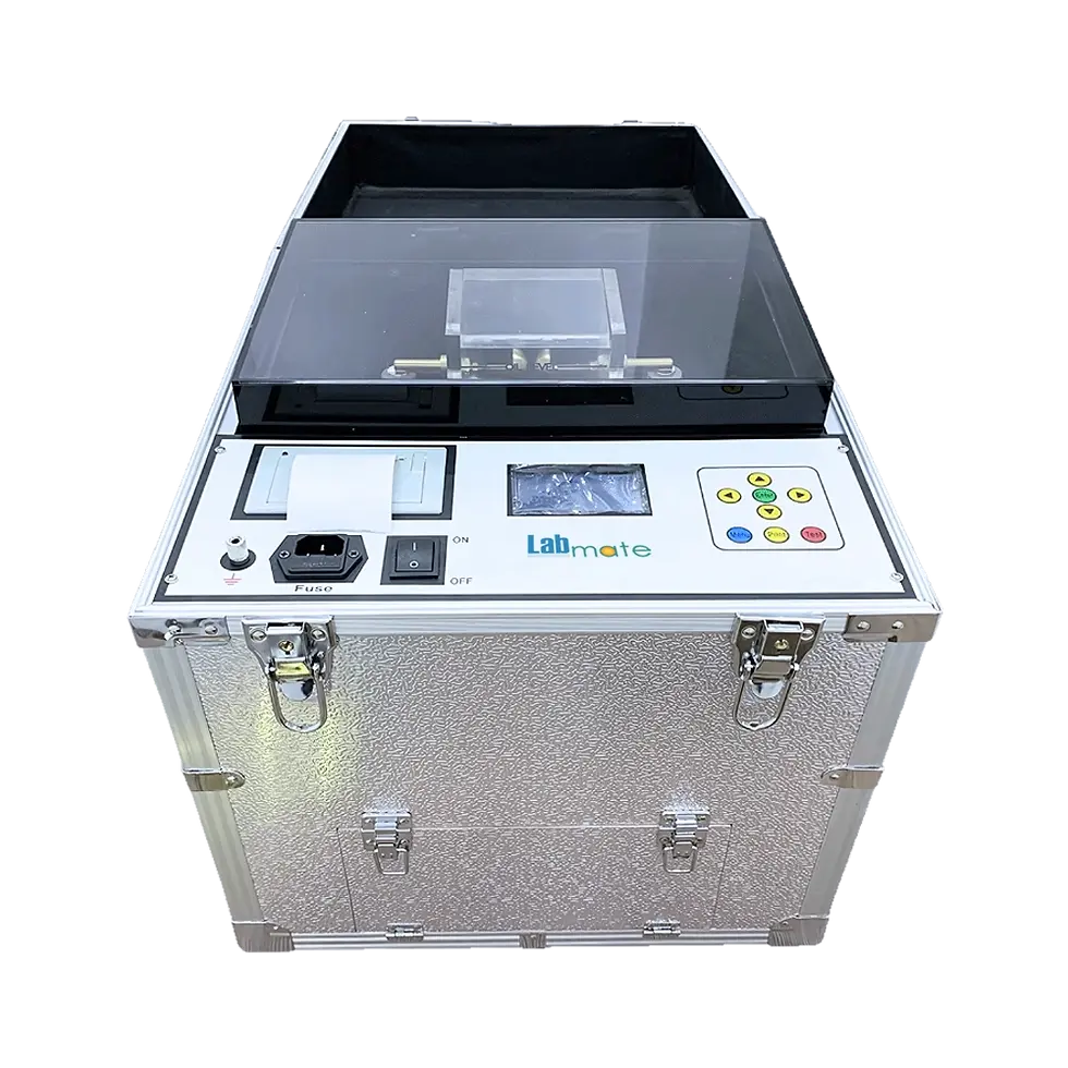
Labmate Ground-Penetrating Radar LMGPR-A100
Labmate Ground-Penetrating Radar LMGPR-A100 is designed for accurate and efficient subsurface profiling. It supports selectable center frequencies from 16 MHz up to 2.6 GHz and offers multiple scanning modes, including point-by-point, wheel-based, and continuous scanning. Compact and lightweight, it delivers fast data acquisition with adjustable vertical and horizontal filters to enhance target detection. This radar system is ideal for geotechnical surveys, underground utility mapping, archaeological studies, and structural inspections in diverse field environments.
Product Info
Key Features
-
Selectable center frequencies: 16 MHz to 2.6 GHz
-
Multiple measurement methods: point-by-point, wheel-based, continuous
-
Compact design with flexible sampling points
-
Adjustable vertical and horizontal filters for improved detection
-
Wireless data transmission up to 50 m
-
Real-time waveform visualization
-
Continuous operation up to 8 hours
-
Non-destructive testing
Technical Specifications
Specification Details Center Frequency 16 MHz, 40 MHz, 100 MHz, 200 MHz, 400 MHz, 600 MHz, 900 MHz, 1.6 GHz, 2 GHz, 2.6 GHz Sampling Frequency 50 kHz to 285 kHz Time Window 0 to 8000 ns Sampling Points 256 to 8192 Minimum Sampling Interval 2 ps Wireless Data Transmission Distance 50 m Measurement Methods Point-by-point, Measurement Wheel, Continuous Display Methods Pseudo color, Stacked waveform, Grayscale Continuous Working Time 8 hours Filters Vertical Filter, Horizontal Filter Operating Temperature -30°C to +70°C Storage Temperature -40°C to +80°C Wired Communication 100 Mbps Operating Voltage 12 V Power Consumption 6 W Power Supply 0.5 A Dimensions (W×D×H) 350 × 400 × 150 mm Weight 5 kg Applications
Labmate Ground-Penetrating Radar LMGPR-A100 is applied in geotechnical and geological surveys, underground utility and pipeline detection, archaeological exploration, road and infrastructure inspection, and structural analysis, providing reliable and non-destructive subsurface evaluation.-